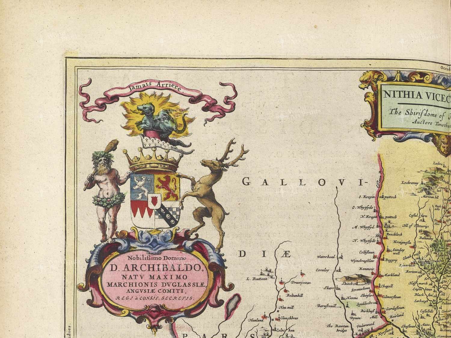
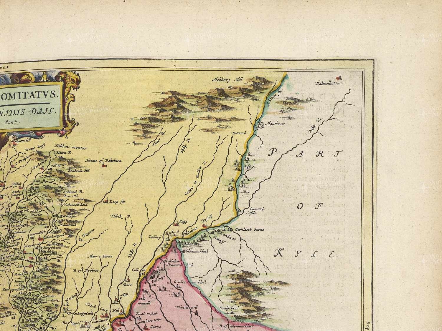
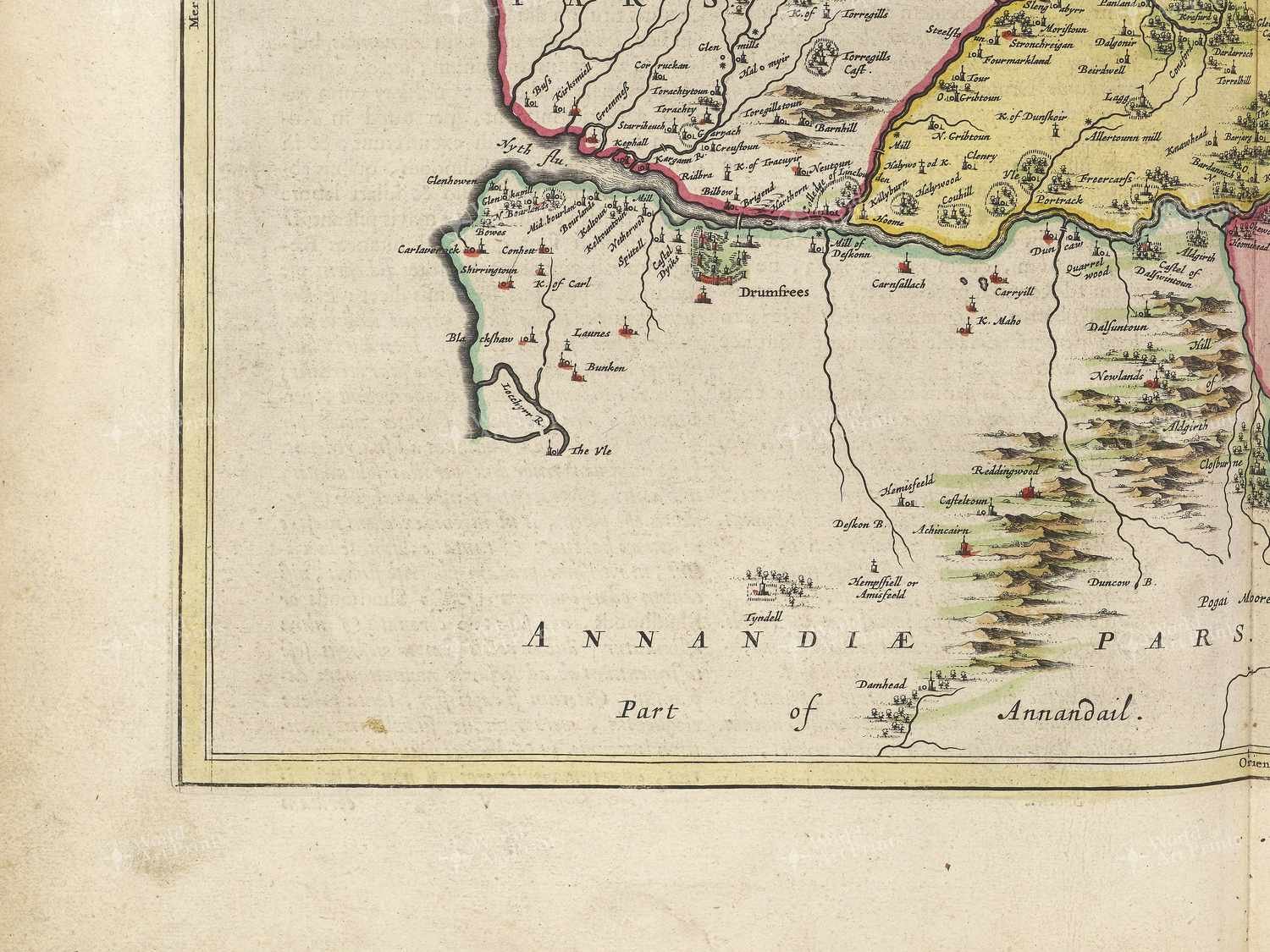
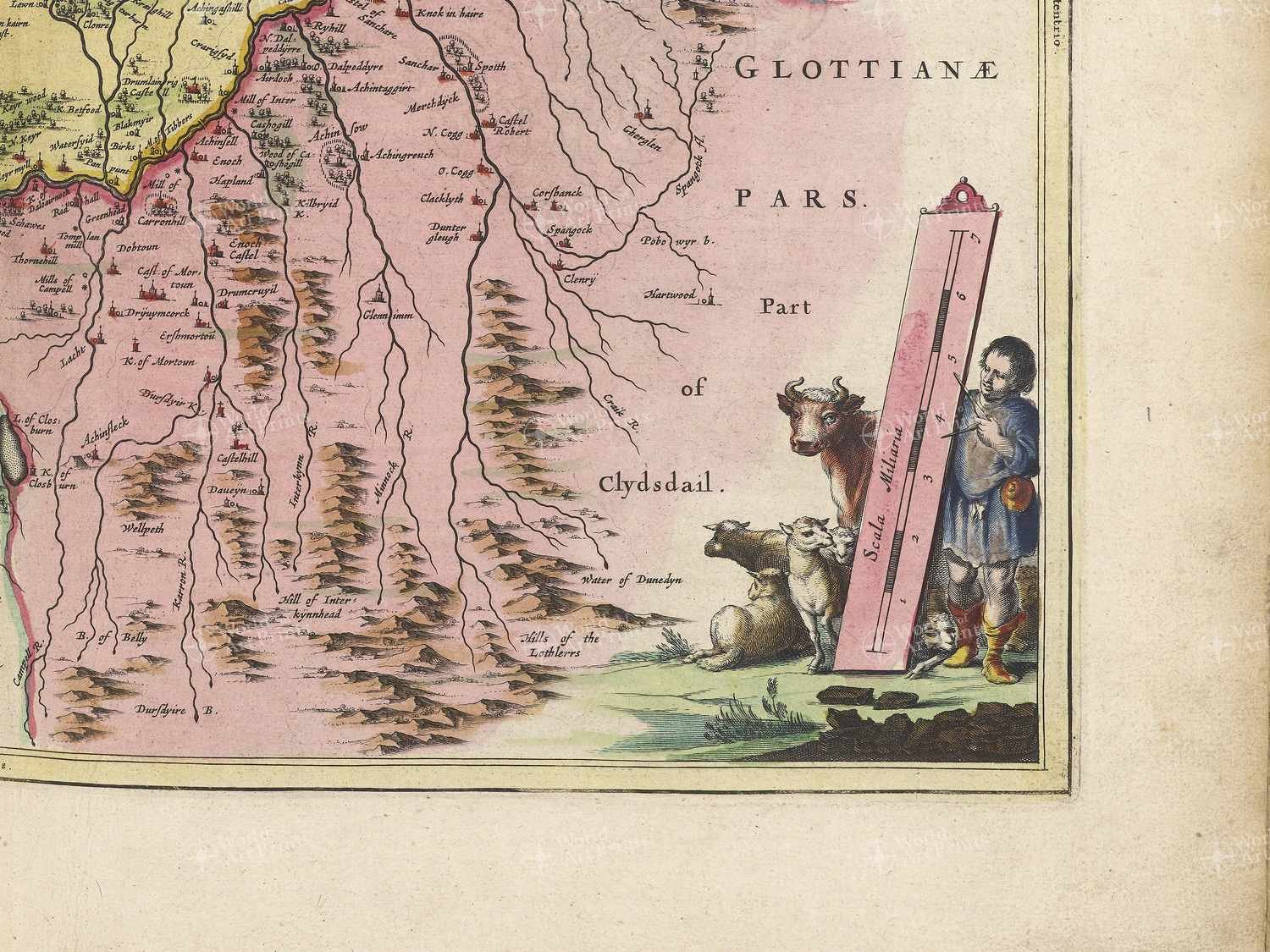
This antique map, created in 1665 and titled ‘Nithia Vicecomitatvs’, depicts an area of the United Kingdom in the early 17th century. The title translates to ‘Nithshire County’, which was a historic county in Scotland that covered a large part of what is now Dumfries and Galloway.
The United Kingdom in the early 17th century was a vastly different landscape to what we see today. The country was still recovering from the tumultuous Tudor period and the religious turmoil that had accompanied it. The Stuart dynasty was now in power, with James I and Charles I ruling over England, Scotland and Wales.
This was also a time of great exploration and expansion, with the British Empire beginning to take shape and colonies being established in America and beyond. Trade was becoming increasingly important, with the growth of ports such as London and Bristol, and the rise of the East India Company.
The map itself focuses on the central region of N