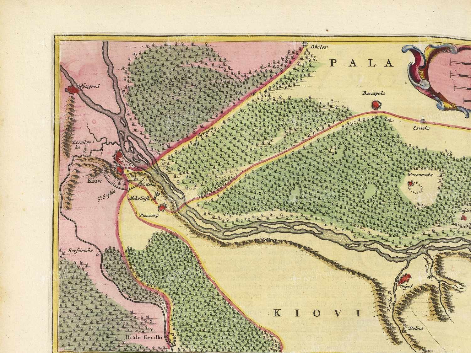
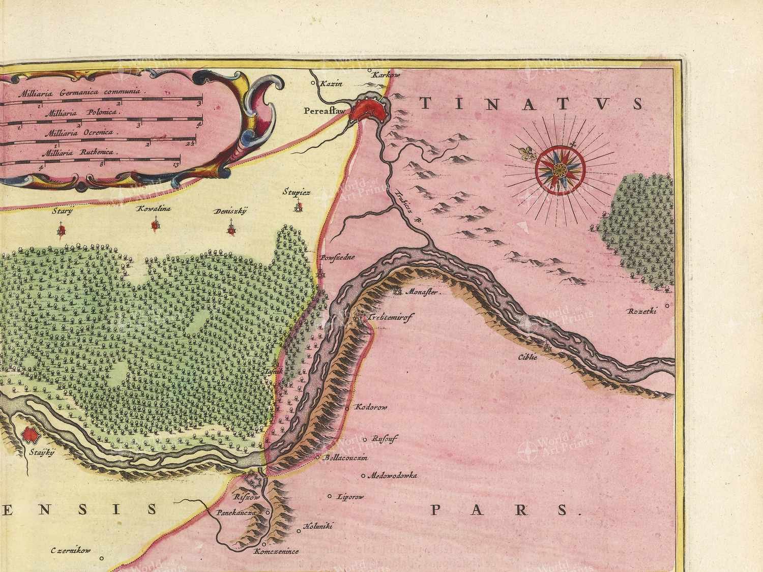
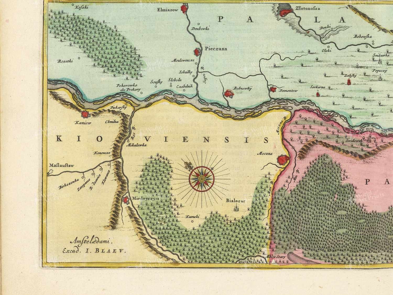
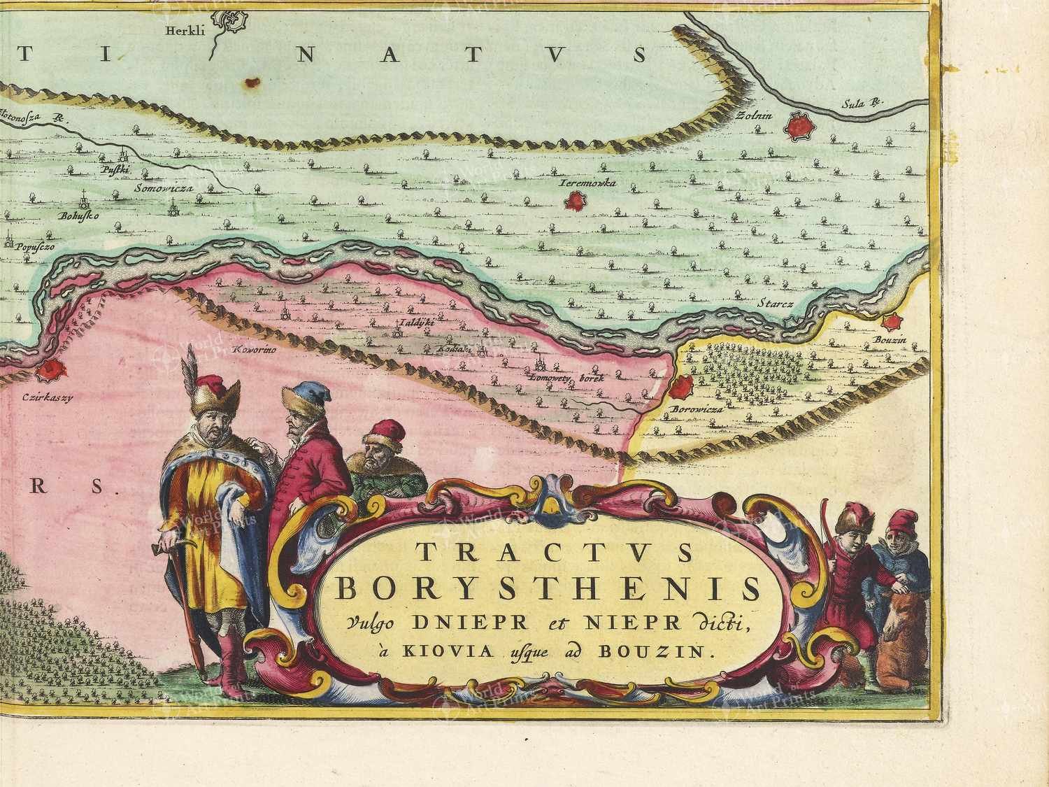
The antique map created in 1665 is titled ‘Tractvs Borysthenis Vulgo Dniepr et Niepr dicti, à Kiovia usque ad Bouzin’. Translated, this means ‘The course of the Borysthenes, commonly known as the Dnieper and Nieper, from Kiev to Bouzin’.
Ukraine in the early 17th Century was a vast and diverse region, with a mix of cultures and languages. The map shows the central area of the country, including the cities of Черкаси, Геронимівка, and Оршанець. This region was home to a mix of Ukrainian, Polish, and Cossack populations, and was an important agricultural and trading centre. The Dnieper River was a key transportation route, connecting the region to the Black Sea and beyond. The map would have been an important tool for travellers and merchants navigating this complex and fascinating region